(CNN) – The US Storm Prediction Center (SPC) reports that severe storms are expected Wednesday in the central and southern plains of the country.
There is a slight risk of severe storms, Level 2 of 5, from north Texas to southeastern Montana, including Denver, Colorado Springs, Cheyenne, and Casper, Wyoming.
The main threats are isolated tornadoes, large hail and damaging wind gusts.
The marginal risk of severe storms, Level 1 of 5, extends from the Texas-Mexico border to the Minnesota-Canada border, including Lubbock, Amarillo, and Bismarck.
The main threats are heavy hail and damaging winds.
Separate fringe hazards exist in Southeast Texas, including Houston.
The main threats are heavy hail, damaging wind gusts, and heavy rain.
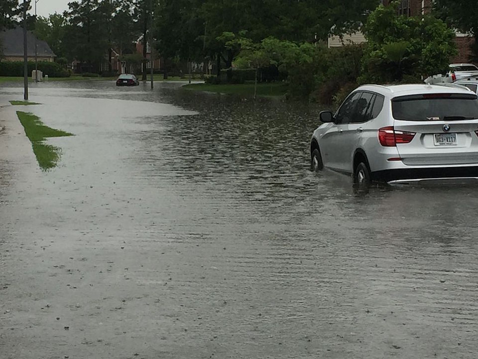
The National Weather Service (NWS) has issued a moderate risk of excessive precipitation, level 3 out of 4, for southeast Texas. More than 7 million people are under flood watch in Southeast Texas Tuesday morning through Wednesday evening. Multiple rounds of thunderstorms with heavy rain can produce 5- to 7-inch gusts and potentially produce areas of flash flooding during the day.
More than 170 storms in the United States on Tuesday
More than 170 storms were reported across the United States on Tuesday, with intense storm surges causing tornadoes, significant hail and damaging winds.
So far there have been two tornadoes, one in Saragosa, Texas, and one in Miltonville, Kansas.
There have been at least 75 reports of gusts across the United States, with more than five gusts exceeding 119 km/h. Here are some notable wind reports:
- Osborne, Kansas: 130 km / h
- Overbrook, Kansas: 128 km / h
- Charleston, South Carolina: 127 km / h
- Willard, Missouri: 125 km / h
All severe storm warnings have expired in parts of Missouri. A flash flood warning remains in effect for northwest Christian County, southwest Greene County, and east-central Lawrence County in southwest Missouri. The National Weather Service in Springfield reported that 2 to 4 inches of rain had already fallen.
A moderate risk (level 3 of 4) of excessive precipitation is highlighted over Houston and surrounding areas in Southeast Texas Tuesday through Wednesday, when several flash floods are likely, according to the Weather Prediction Center. Multiple rounds of heavy thunderstorms could bring more than 5 to 7 inches of rain and likely produce areas of flash flooding over the next couple of days.


/thumbs.vodgc.net/1-14-S15FuR1714053755879_480P.jpg)